
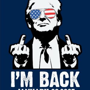
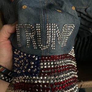
FOUR MORE YEARS!
Really piss off those liberals with a TRUMP 2028 Hat! ON SALE NOW!

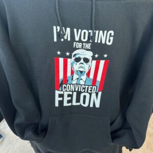
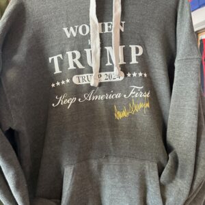
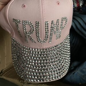
FEATURED ITEMS ON SALE
Yard Signs ON SALE for ONLY $5
Product Categories


GLASSWARE CLEARANCE SALE!
ON SALE NOW, LIMITED QUANTITIES AVAILABLE!
-
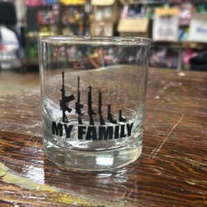 My Family Gun Whiskey Glass
 -
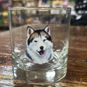 Husky Rocks Glass
 -
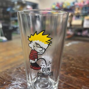 No Gun Control Pint Glass
 -
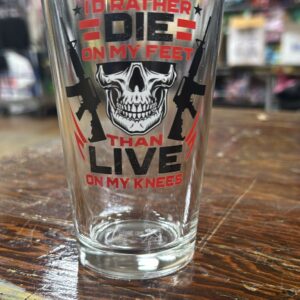 Rather Die On My Feet Pint Glass
 -
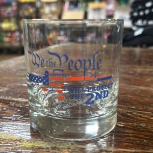 We The People Will Protect Whiskey Glass
 -
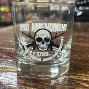 2A – Original Homeland Security Whiskey Glass
 -
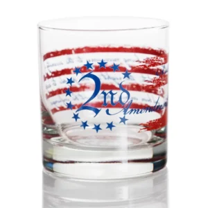 2ND Amendment Stars & Stripe Rocks Glass
 -
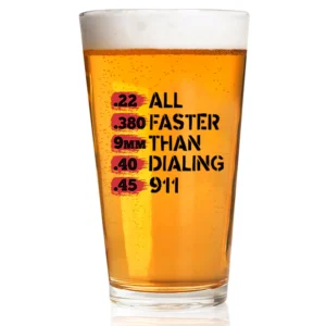 Faster Than 911 Pint Glass
 -
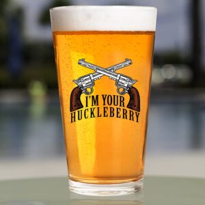 I’m Your Huckleberry Pint Glass
 -
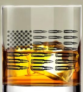 Bullet Flag Whiskey Glass
 -
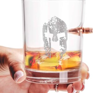 Spartan Helmet Whiskey Glass
 -
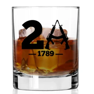 2A – 1789 Whiskey Glass
 -
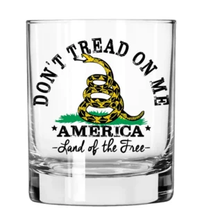 Don’t Tread On Me Whiskey Glass
 -
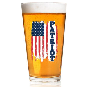 Pint Glass Patriot Flag
 -
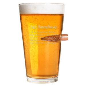 .50 Caliber Bullet Pint Glass 2nd Amendment
 -
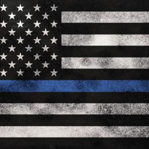
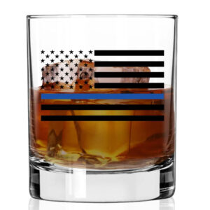 Thin Blue Line Whiskey Glass